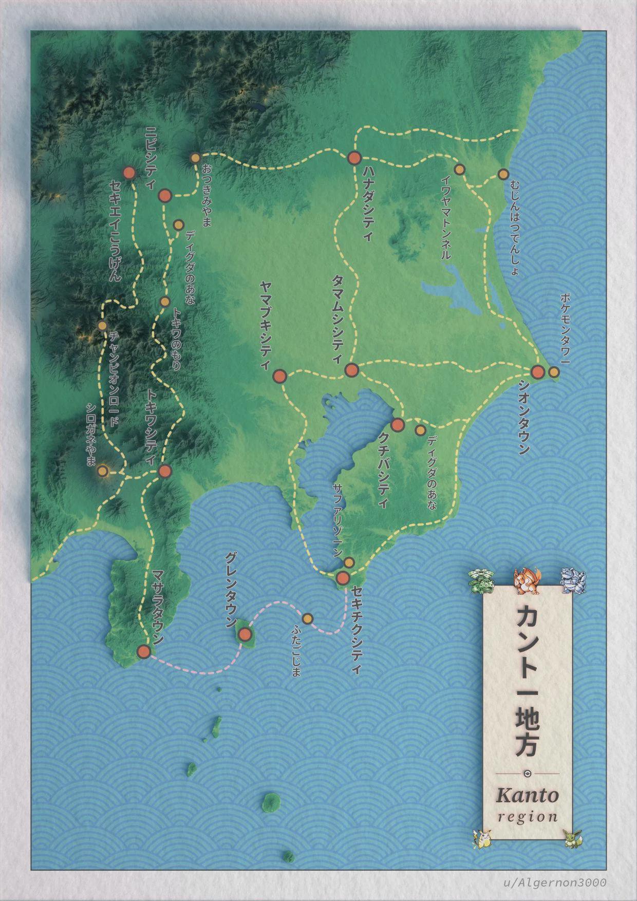
I’ve always liked the idea of Pokémon regions based on real-life locations, so I wanted to see what Kanto would look like using real topographic data. This was made with Blender and Affinity Designer. The cities and points of interest are placed approximately where they should be in the game, not directly on their real-life counterparts.
I’m open to any feedback, as I’m still learning the tools! And stay tuned for More Pokémon maps to come 🙂
by Algernon3000